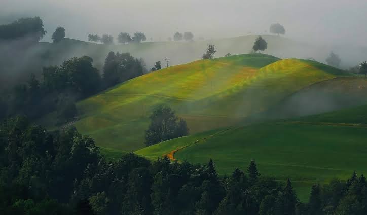
OXS-WSM-OD-005
Rengali Farming Basin · Brahmani River — Odisha
A ridge-to-valley watershed program across the Rengali farming basin of the Brahmani river system, rebuilding the catchment's capacity to hold water rather than shed it.
The basin faces a familiar pattern: intense monsoon rainfall arriving faster than degraded slopes can absorb, running off with topsoil, then a dry season of falling water tables and failing wells. Treatment works down the slope in sequence — contour trenching and vegetative barriers on the upper catchment, check dams and gully plugs in drainage lines, farm ponds and percolation tanks in the middle reaches, and riparian restoration along the streams themselves.
Each structure slows water and gives it time to enter the ground. Together across a catchment they shift the balance from runoff toward recharge, stabilising wells through the dry months, holding soil in place, and supporting a second cropping season where only one was reliable before.

Basin scope
650 km²
≈ 160,600 acres · 65,000 ha
Additional recharge
~35–50 MCM
million m³ per year, modelled
Carbon co-benefit

Under assessment
soil & riparian biomass baseline
Water table response
~1.5–3 m
expected rise in treated micro-catchments
Projects
Explore Similar Projects
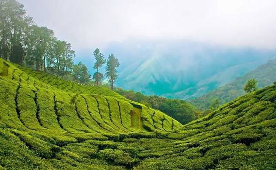
Industrial-Grade Silica from Rice Husk
Tamil Nadu — Client: Ecosil Limited
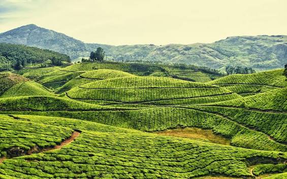
CAMPA Compensatory Reforestation Program
Vedasandur · Dindigul District — Tamil Nadu · Client: Tamil Nadu Tourism Development Corporation
Improved Watershed Management Program
Rengali Farming Basin · Brahmani River — Odisha
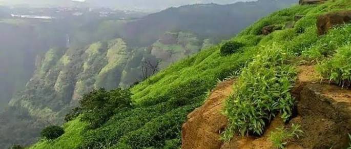
Anti-Shore Erosion & Mangrove Restoration Program
Puducherry — Union Territory, East Coast
Enhanced Rock Weathering Program
Spacious and sunlit apartment with modern interiors, located in the heart of the city. Ideal for families or working professionals.

Invasive Biomass to Biochar Carbon Removal Program
Palani · Dindigul District — Tamil Nadu

Wildfire Management & Improved Forest Management System
Theni Division · Meghamalai · Srivilliputhur · Anamalai Tiger Reserve · Kodaikanal WLS — Tamil Nadu