
OXS-IFM-TN-001
Theni Division · Meghamalai · Srivilliputhur · Anamalai Tiger Reserve · Kodaikanal WLS — Tamil Nadu
A landscape-scale fire intelligence and forest management program across four protected areas and one territorial division of the Southern Western Ghats — among the most fire-exposed and ecologically significant terrain in peninsular India.
The program combines predictive fire risk modelling with operational response. Fuel load is mapped from LiDAR and multispectral survey; ignition risk is modelled against terrain, aspect, fuel moisture, wind and historical incidence; and thermal satellite feeds drive early detection. Forest department staff and community fire watchers receive risk maps ahead of each season and alerts during it.
Alongside detection, the improved forest management component addresses the underlying condition: strategic fuel reduction, invasive stand management, shola-grassland boundary restoration, and regeneration support in repeatedly burnt compartments. The aim is a landscape where fire returns to its natural role rather than arriving as an annual emergency.

Anamalai Tiger Reserve
~1,480 km²
Srivilliputhur–Megamalai TR
~1,017 km²
Kodaikanal Wildlife Sanctuary
~609 km²
Theni Forest Division
~1,000 km²
Total scope area
~4,100 km²
≈ 410,000 ha · 1.01 million acres
Protected areas covered
5
4 PAs + 1 territorial division
Status

Proposal stage
Tamil Nadu Forest Department
Carbon outcome
Under assessment
avoided emissions baseline in progress
Projects
Explore Similar Projects
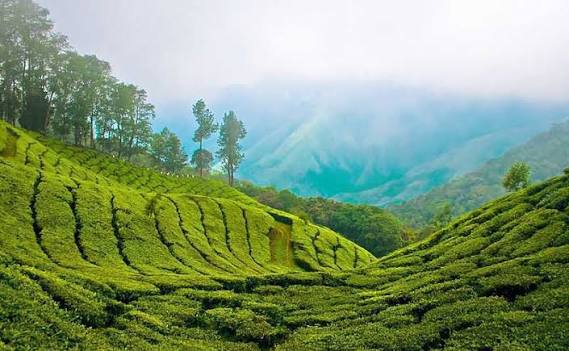
Industrial-Grade Silica from Rice Husk
Tamil Nadu — Client: Ecosil Limited
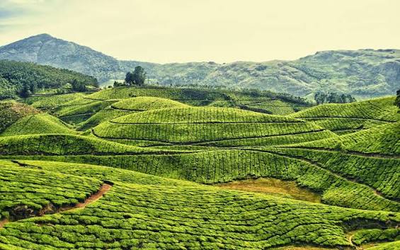
CAMPA Compensatory Reforestation Program
Vedasandur · Dindigul District — Tamil Nadu · Client: Tamil Nadu Tourism Development Corporation

Improved Watershed Management Program
Rengali Farming Basin · Brahmani River — Odisha
Anti-Shore Erosion & Mangrove Restoration Program
Puducherry — Union Territory, East Coast
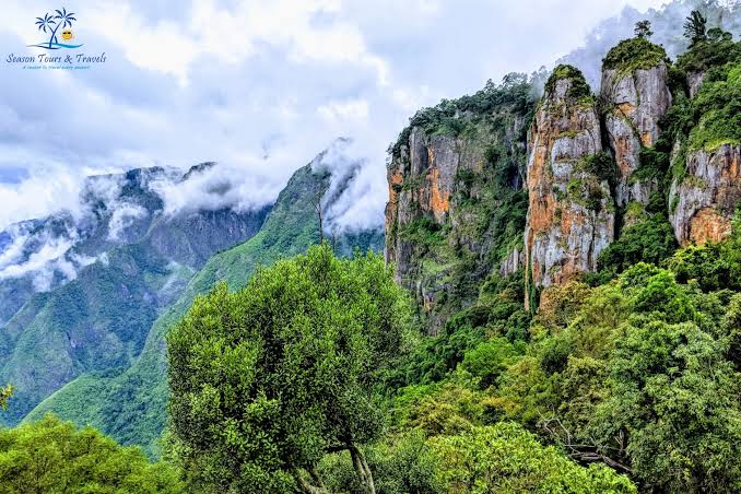
Enhanced Rock Weathering Program
Spacious and sunlit apartment with modern interiors, located in the heart of the city. Ideal for families or working professionals.

Invasive Biomass to Biochar Carbon Removal Program
Palani · Dindigul District — Tamil Nadu
Wildfire Management & Improved Forest Management System
Theni Division · Meghamalai · Srivilliputhur · Anamalai Tiger Reserve · Kodaikanal WLS — Tamil Nadu