About Oxyseed
Intelligence to Action.
Restoration to Resilience.
Intelligence to Action.
Restoration to Resilience.
Intelligence to Action.
Restoration to Resilience.
We read the living world at the scale it actually operates, and we act on what it tells us. This page is a glimpse into how we see nature, and the science we use to measure it.
VISION
Landscapes that heal. Communities that thrive.
Landscapes that heal. Communities that thrive.
Landscapes that heal. Communities that thrive.
Landscapes that heal. Communities that thrive.
To restore the living systems of our planet by combining scientific conservation, ecological restoration and climate intelligence we believe in creating landscapes that are healthier, communities that are more resilient, and a future where nature and humanity thrive together.
To restore the living systems of our planet by combining scientific conservation, ecological restoration and climate intelligence we believe in creating landscapes that are healthier, communities that are more resilient, and a future where nature and humanity thrive together.
To restore the living systems of our planet by combining scientific conservation, ecological restoration and climate intelligence we believe in creating landscapes that are healthier, communities that are more resilient, and a future where nature and humanity thrive together.
We envision a world where every forest, river, farm, coastline and city is understood through science, restored through action, and protected through continuous stewardship. By uniting field ecology with advanced spatial intelligence, we aspire to make environmental restoration measurable, transparent and enduring.
We envision a world where every forest, river, farm, coastline and city is understood through science, restored through action, and protected through continuous stewardship. By uniting field ecology with advanced spatial intelligence, we aspire to make environmental restoration measurable, transparent and enduring.
We envision a world where every forest, river, farm, coastline and city is understood through science, restored through action, and protected through continuous stewardship. By uniting field ecology with advanced spatial intelligence, we aspire to make environmental restoration measurable, transparent and enduring.


MISSION
Science, technology and ground truth, working as one.
Science, technology and ground truth, working as one.
Science, technology and ground truth, working as one.
Science, technology and ground truth, working as one.
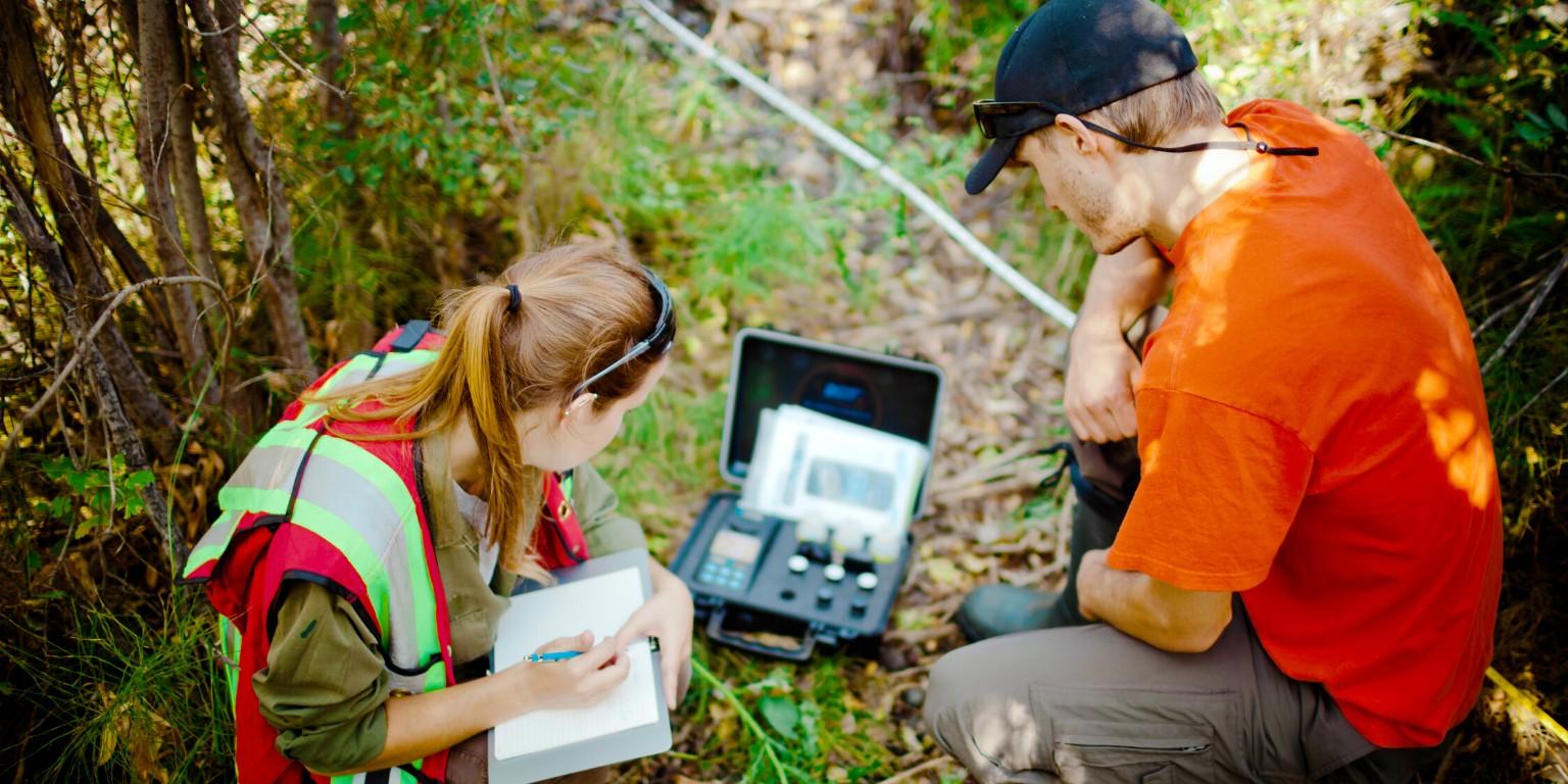
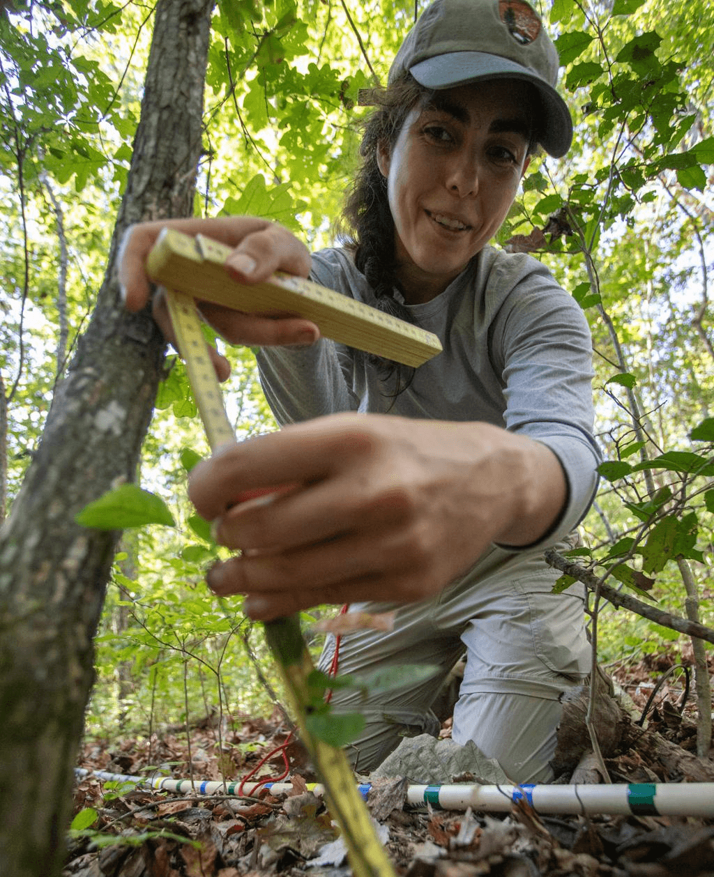
Our mission is to bridge science, technology and on-the-ground action to regenerate natural ecosystems and accelerate the transition toward a climate-resilient world.
Our mission is to bridge science, technology and on-the-ground action to regenerate natural ecosystems and accelerate the transition toward a climate-resilient world.
Our mission is to bridge science, technology and on-the-ground action to regenerate natural ecosystems and accelerate the transition toward a climate-resilient world.
The future of conservation lives in the integration of technology and fieldwork together. Where every hectare restored is scientifically verified, every decision is guided by evidence, and every project leaves the planet healthier than it was before.
The future of conservation lives in the integration of technology and fieldwork together. Where every hectare restored is scientifically verified, every decision is guided by evidence, and every project leaves the planet healthier than it was before.
The future of conservation lives in the integration of technology and fieldwork together. Where every hectare restored is scientifically verified, every decision is guided by evidence, and every project leaves the planet healthier than it was before.
Our Philosophy
As above, so below.
As above, so below.
We see nature as an entangled, non-linear, asymmetric system. Our core quantum ecology model grows from a single universal principle: the pattern that organises the very large also organises the very small.
We see nature as an entangled, non-linear, asymmetric system. Our core quantum ecology model grows from a single universal principle: the pattern that organises the very large also organises the very small.
From a spinning galaxy to a cyclone and to an electron, everything spins into order which for example can be seen on fern frond spirals. The proportions that governs a seed head also governs a river network. Once you accept that the same grammar runs through every scale, a landscape becomes easily readable and measurement becomes a matter of learning the grammar rather than counting the parts.
From a spinning galaxy to a cyclone and to an electron, everything spins into order which for example can be seen on fern frond spirals. The proportions that governs a seed head also governs a river network. Once you accept that the same grammar runs through every scale, a landscape becomes easily readable and measurement becomes a matter of learning the grammar rather than counting the parts.
Three properties follow from this view. Each one reshapes how we measure, and each one is described below.
Three properties follow from this view. Each one reshapes how we measure, and each one is described below.
Entanglement
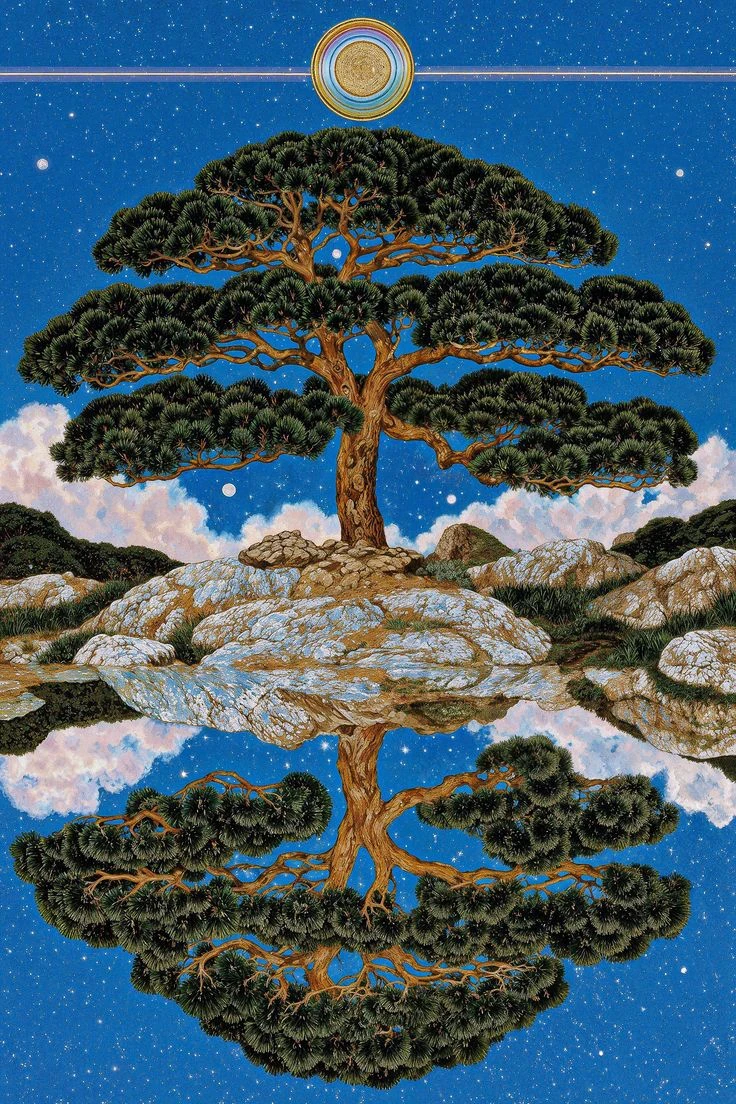
A soil fungus threads through a root and changes what a tree can drink. That tree shades a stream, and the stream cools enough for a fish to spawn. The fish feeds a bird that carries a seed eleven kilometres and starts a grove. Each of these is a real, traceable link, and the landscape is made of millions of them running at once. The consequence for measurement is direct: any variable read on its own gives a partial answer. Soil carbon read beside canopy density, rainfall, species mix, slope and season becomes a description of a living place. We therefore measure in correlated sets and let the relationships carry as much information as the values.
Everything in a landscape is holding everything else.
Non-Linearity
Super-Asymmetry
Entanglement
A soil fungus threads through a root and changes what a tree can drink. That tree shades a stream, and the stream cools enough for a fish to spawn. The fish feeds a bird that carries a seed eleven kilometres and starts a grove. Each of these is a real, traceable link, and the landscape is made of millions of them running at once. The consequence for measurement is direct: any variable read on its own gives a partial answer. Soil carbon read beside canopy density, rainfall, species mix, slope and season becomes a description of a living place. We therefore measure in correlated sets and let the relationships carry as much information as the values.
Non-Linearity
Super-Asymmetry
The Non-Dual Machinery
Entropy and Syntropy
Entropy and Syntropy
Nature runs two motions at once: one that disperses and one that gathers. They operate as a single mechanism.
Nature runs two motions at once: one that disperses and one that gathers. They operate as a single mechanism.

Entropy · dispersal
Entropy · dispersal
Energy spreads. Structure loosens. Leaf litter breaks down, nutrients wash downslope, heat radiates to the sky. This motion returns material to circulation and makes it available again.
Energy spreads. Structure loosens. Leaf litter breaks down, nutrients wash downslope, heat radiates to the sky. This motion returns material to circulation and makes it available again.
Syntropy · concentration
Syntropy · concentration
Order accumulates locally. A seedling gathers diffuse sunlight into dense wood, soil builds a crumb structure, a succession assembles from bare ground into layered forest.
Order accumulates locally. A seedling gathers diffuse sunlight into dense wood, soil builds a crumb structure, a succession assembles from bare ground into layered forest.
Every living system runs both continuously. A forest disperses and concentrates in the same hour, in the same square metre. Reading them together gives a full-spectrum view of the mechanism, where a landscape is releasing, where it is building, and the balance between the two. That balance is the clearest single indicator we have of ecological health, and it is the quantity our models are built to track.
Every living system runs both continuously. A forest disperses and concentrates in the same hour, in the same square metre. Reading them together gives a full-spectrum view of the mechanism, where a landscape is releasing, where it is building, and the balance between the two. That balance is the clearest single indicator we have of ecological health, and it is the quantity our models are built to track.
Quantum Ecology · Applied Studies
The Instruments of the philosophy
The Instruments of the philosophy
Each principle above becomes a method. These are the analytical frameworks we build and apply.
Each principle above becomes a method. These are the analytical frameworks we build and apply.
Oxyseed framework
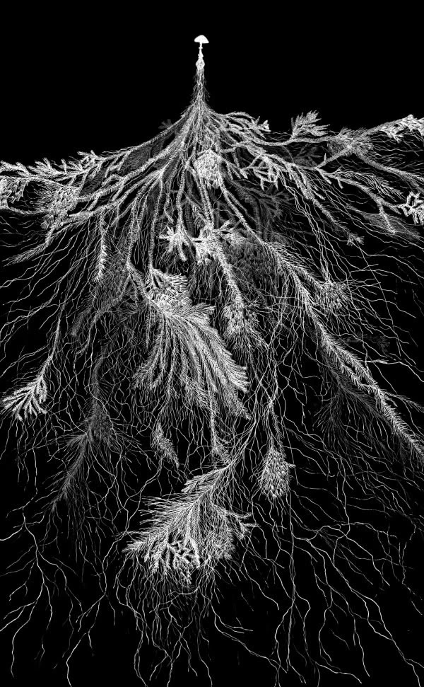
Eco-Quantum Bayesian Networks
Ecological variables held as probability distributions rather than fixed values, linked in a graph where evidence anywhere updates belief everywhere. Built to express entanglement directly: observe canopy density, and soil moisture, species likelihood and carbon estimates all shift together with quantified confidence.
Oxyseed framework
Eco-Quantum Bayesian Networks
Ecological variables held as probability distributions rather than fixed values, linked in a graph where evidence anywhere updates belief everywhere. Built to express entanglement directly: observe canopy density, and soil moisture, species likelihood and carbon estimates all shift together with quantified confidence.
Oxyseed framework

Pivot Fibonacci Studies
Phyllotactic ratios appear across growth form, branching, spacing and canopy packing. We use these proportions as structural pivots — reference points for detecting where a system sits within its own growth geometry, and for identifying inflection in ecological time series.
Oxyseed framework
Pivot Fibonacci Studies
Phyllotactic ratios appear across growth form, branching, spacing and canopy packing. We use these proportions as structural pivots — reference points for detecting where a system sits within its own growth geometry, and for identifying inflection in ecological time series.
Oxyseed framework
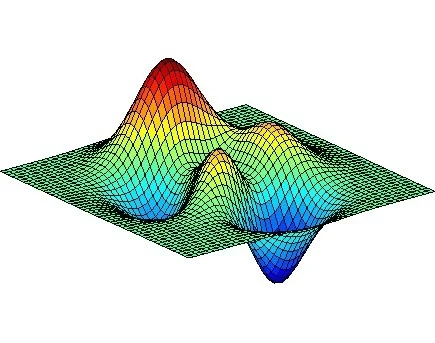
Field Coherence Mapping
Rather than reading each layer alone, we compute how strongly measurements agree across a landscape — where signals reinforce, where they diverge. Zones of low coherence flag stress, disturbance and transition earlier than any single index.
Oxyseed framework
Field Coherence Mapping
Rather than reading each layer alone, we compute how strongly measurements agree across a landscape — where signals reinforce, where they diverge. Zones of low coherence flag stress, disturbance and transition earlier than any single index.
Established architecture
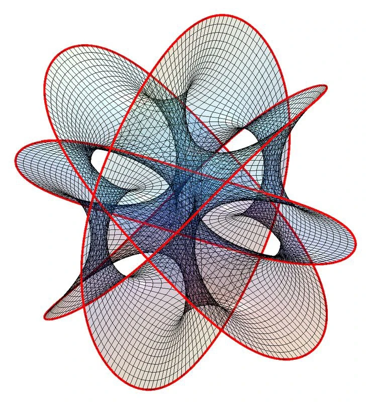
Temporal fusion modelling
Temporal Fusion Transformers combine static site attributes with time-varying signals across many horizons, and expose which inputs drove each forecast. We apply them to phenology, hydrology, biomass accumulation and restoration trajectory, with the interpretability that MRV review requires.
Established architecture
Temporal fusion modelling
Temporal Fusion Transformers combine static site attributes with time-varying signals across many horizons, and expose which inputs drove each forecast. We apply them to phenology, hydrology, biomass accumulation and restoration trajectory, with the interpretability that MRV review requires.
Established method
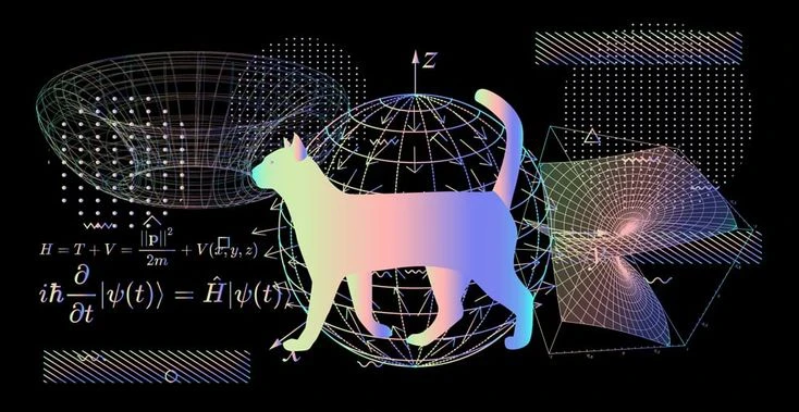
Fractal & Scale-Invariance Analysis
Fractal dimension of canopy, drainage and patch geometry quantifies structural complexity in a single figure, and travels across scale. Degradation shows up as a loss of complexity, often well before it registers in area or cover statistics.
Established method
Fractal & Scale-Invariance Analysis
Fractal dimension of canopy, drainage and patch geometry quantifies structural complexity in a single figure, and travels across scale. Degradation shows up as a loss of complexity, often well before it registers in area or cover statistics.
Established method
Information & Entropy Metrics
Shannon and Rényi measures applied to species assemblages, spectral diversity and landscape configuration give a rigorous, comparable account of the entropy side of the machinery, and anchor the syntropy balance in accepted mathematics.
Established method
Information & Entropy Metrics
Shannon and Rényi measures applied to species assemblages, spectral diversity and landscape configuration give a rigorous, comparable account of the entropy side of the machinery, and anchor the syntropy balance in accepted mathematics.
The Non-Dual Machinery
Quantum Spatial Intelligence System
Quantum Spatial Intelligence System
Our methodology carries the philosophy into instrumentation.
Our methodology carries the philosophy into instrumentation.
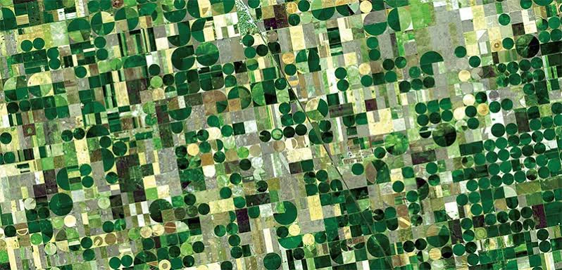
Q-SIS draws on peer-reviewed science and current sensing technology to observe a landscape from three vantage points at once, spaceborne, airborne and terrestrial fusing the streams into machine learning built for non-linear, entangled systems.
Q-SIS draws on peer-reviewed science and current sensing technology to observe a landscape from three vantage points at once, spaceborne, airborne and terrestrial fusing the streams into machine learning built for non-linear, entangled systems.
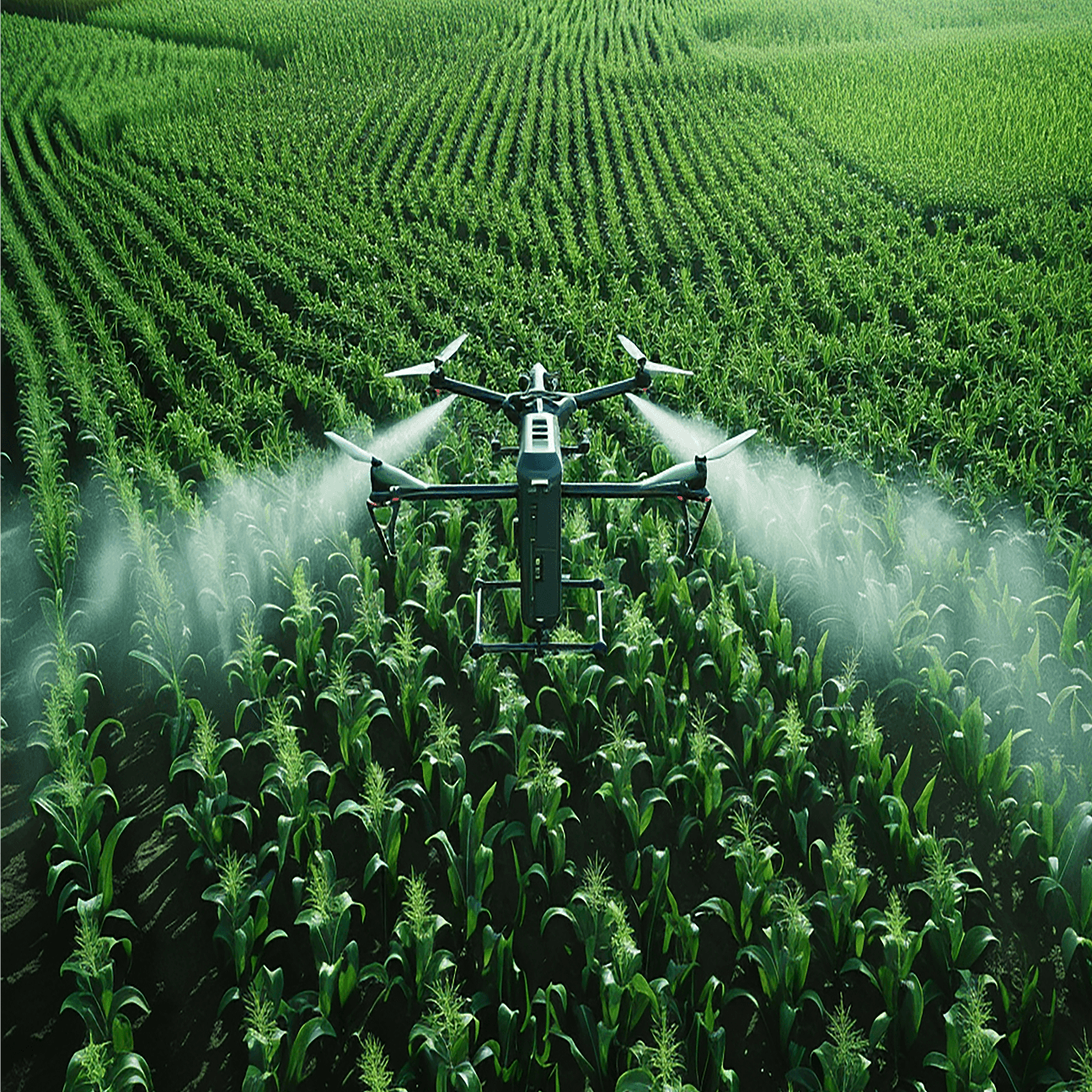
Each vantage point contributes something the others lack. Satellites give continuity and reach across seasons and years. Aircraft and drones give resolution fine enough to resolve individual crowns. Ground sensors and field survey give truth, calibration and the biological detail that only contact provides. Fused, they produce a multi-modal reading of Earth's intelligence that stays simple to act on.
Each vantage point contributes something the others lack. Satellites give continuity and reach across seasons and years. Aircraft and drones give resolution fine enough to resolve individual crowns. Ground sensors and field survey give truth, calibration and the biological detail that only contact provides. Fused, they produce a multi-modal reading of Earth's intelligence that stays simple to act on.

Light as the Ultimate Tool
Every living surface writes its condition into light.
Every living surface writes its condition into light.
Sunlight arrives across a wide band of wavelengths. A leaf treats each band differently, and those choices are physical, specific and measurable.
Sunlight arrives across a wide band of wavelengths. A leaf treats each band differently, and those choices are physical, specific and measurable.
Chlorophyll absorbs strongly in blue and red to drive photosynthesis, which is exactly why healthy foliage reflects green back to the eye. Just past visible red, the internal air-and-cell structure of a leaf scatters near-infrared with sudden intensity, the near-vertical jump known as the red edge. Further out, in shortwave infrared, water inside the leaf absorbs at characteristic wavelengths, so the curve dips wherever moisture is present.
Chlorophyll absorbs strongly in blue and red to drive photosynthesis, which is exactly why healthy foliage reflects green back to the eye. Just past visible red, the internal air-and-cell structure of a leaf scatters near-infrared with sudden intensity, the near-vertical jump known as the red edge. Further out, in shortwave infrared, water inside the leaf absorbs at characteristic wavelengths, so the curve dips wherever moisture is present.
The result is a spectral signature: a continuous record of pigment, structure, water content and stress, written in reflected light and readable from orbit. Measuring across the full spectrum lets us quantify the field properties of a landscape of its vigour, water status, species composition and it's biochemistry with physics doing the modelling.
The result is a spectral signature: a continuous record of pigment, structure, water content and stress, written in reflected light and readable from orbit. Measuring across the full spectrum lets us quantify the field properties of a landscape of its vigour, water status, species composition and it's biochemistry with physics doing the modelling.

Quantum Ecology · Applied Studies
Quantum Ecology · Applied Studies
The Instruments of the philosophy
The Instruments of the philosophy
Each principle above becomes a method. These are the analytical frameworks we build and apply.
Each principle above becomes a method. These are the analytical frameworks we build and apply.
Light-Based Sensing
Microwave & Active Sensing
Atmospheric & Environmental Sensing
AI & Geospatial Intelligence
01

RGB Imaging
Visible · true colour
Centimetre-scale orthomosaics for boundary and encroachment mapping, canopy gap counts, crown-texture species identification, erosion and gully documentation, and time-series records of restoration progress. Also the layer communities and reviewers read most easily, which makes it the backbone of transparent reporting.
02

Multispectral
4–12 discrete bands
Vegetation indices such as NDVI and EVI give vigour, chlorophyll status and nitrogen signals across whole landscapes. Used for plantation and crop health, invasive spread mapping, drought stress that appears weeks before anything is visible, and consistent seasonal monitoring at scale.
03
Hyperspectral
100–300+ narrow bands
Continuous spectra resolve species-level discrimination and leaf biochemistry — chlorophyll, water, nitrogen and lignin content. Applied to floristic mapping in mixed forest, soil mineralogy, mine tailings and pollution signatures, and to sharpening carbon fraction estimates well beyond broadband methods.
04

Thermal Infrared
Emitted heat
Canopy temperature reveals transpiration and water stress directly. Used for evapotranspiration mapping, irrigation efficiency, spring and seep detection, urban heat island assessment, wildfire hotspot tracking, and nocturnal wildlife survey where thermal contrast makes animals visible in darkness.
05
LiDAR
Active laser ranging
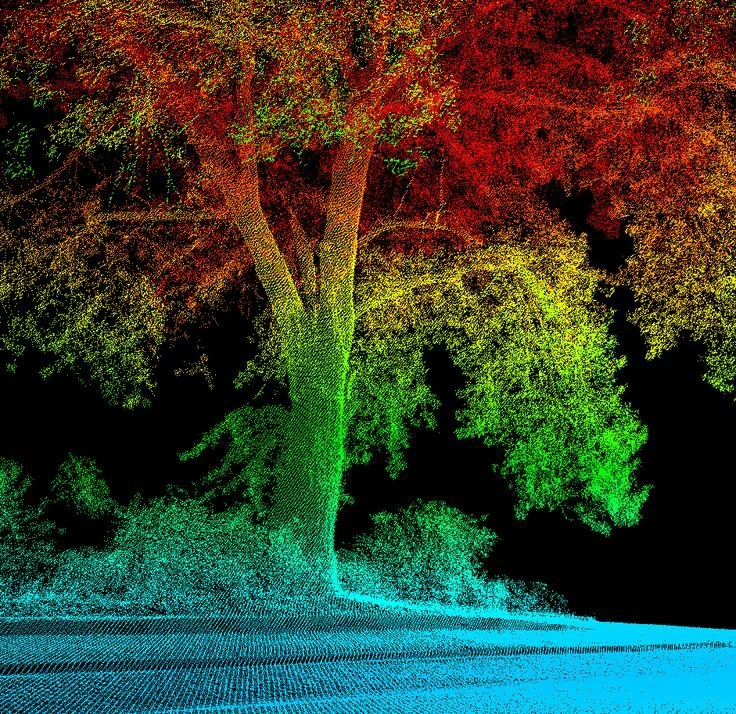
Pulsed laser returns build three-dimensional forest structure: canopy height models, bare-earth terrain beneath dense cover, vertical stratification for habitat quality, and above-ground biomass with field-grade accuracy. Also the basis for hydrological modelling, gap dynamics and precise volumetric change over time.
Light-Based Sensing
Microwave & Active Sensing
Atmospheric & Environmental Sensing
AI & Geospatial Intelligence
RGB Imaging
Visible true colour
01
Centimetre-scale orthomosaics for boundary and encroachment mapping, canopy gap counts, crown-texture species identification, erosion and gully documentation, and time-series records of restoration progress. Also the layer communities and reviewers read most easily, which makes it the backbone of transparent reporting.
Multispectral
Multispectral
02
Vegetation indices such as NDVI and EVI give vigour, chlorophyll status and nitrogen signals across whole landscapes. Used for plantation and crop health, invasive spread mapping, drought stress that appears weeks before anything is visible, and consistent seasonal monitoring at scale.
Hyperspectral
Hyperspectral
03
Continuous spectra resolve species-level discrimination and leaf biochemistry — chlorophyll, water, nitrogen and lignin content. Applied to floristic mapping in mixed forest, soil mineralogy, mine tailings and pollution signatures, and to sharpening carbon fraction estimates well beyond broadband methods.
Thermal Infrared
Thermal Infrared
04
Canopy temperature reveals transpiration and water stress directly. Used for evapotranspiration mapping, irrigation efficiency, spring and seep detection, urban heat island assessment, wildfire hotspot tracking, and nocturnal wildlife survey where thermal contrast makes animals visible in darkness.
LiDAR
LiDAR
05
Pulsed laser returns build three-dimensional forest structure: canopy height models, bare-earth terrain beneath dense cover, vertical stratification for habitat quality, and above-ground biomass with field-grade accuracy. Also the basis for hydrological modelling, gap dynamics and precise volumetric change over time.
Light-Based Sensing
Microwave & Active Sensing
Atmospheric & Environmental Sensing
AI & Geospatial Intelligence
01
RGB Imaging
Visible · true colour
Centimetre-scale orthomosaics for boundary and encroachment mapping, canopy gap counts, crown-texture species identification, erosion and gully documentation, and time-series records of restoration progress. Also the layer communities and reviewers read most easily, which makes it the backbone of transparent reporting.
02
Multispectral
4–12 discrete bands
Vegetation indices such as NDVI and EVI give vigour, chlorophyll status and nitrogen signals across whole landscapes. Used for plantation and crop health, invasive spread mapping, drought stress that appears weeks before anything is visible, and consistent seasonal monitoring at scale.
03
Hyperspectral
100–300+ narrow bands
Continuous spectra resolve species-level discrimination and leaf biochemistry — chlorophyll, water, nitrogen and lignin content. Applied to floristic mapping in mixed forest, soil mineralogy, mine tailings and pollution signatures, and to sharpening carbon fraction estimates well beyond broadband methods.
04
Thermal Infrared
Emitted heat
Canopy temperature reveals transpiration and water stress directly. Used for evapotranspiration mapping, irrigation efficiency, spring and seep detection, urban heat island assessment, wildfire hotspot tracking, and nocturnal wildlife survey where thermal contrast makes animals visible in darkness.
05
LiDAR
Active laser ranging
Pulsed laser returns build three-dimensional forest structure: canopy height models, bare-earth terrain beneath dense cover, vertical stratification for habitat quality, and above-ground biomass with field-grade accuracy. Also the basis for hydrological modelling, gap dynamics and precise volumetric change over time.
Together this core delivers efficiency in conservation and restoration, and decisions supported by evidence at every step.
Together this core delivers efficiency in conservation and restoration, and decisions supported by evidence at every step.
Faqs
Got questions? We’ve got answers
Got questions? We’ve got answers
What is Oxyseed Climate Solutions?
Oxyseed Climate Solutions is a science-led ecological restoration company dedicated to restoring forests, farms, estates, wetlands, and coastal ecosystems. We combine advanced technology, field science, and global environmental standards to create measurable improvements in biodiversity, soil health, water resources, climate resilience, and community livelihoods.
How is Oxyseed different from a carbon credit company?
What are EcoAssets?
Who can partner with Oxyseed?
How do you measure environmental impact?
Which standards do your projects follow?
What is Oxyseed Climate Solutions?
Oxyseed Climate Solutions is a science-led ecological restoration company dedicated to restoring forests, farms, estates, wetlands, and coastal ecosystems. We combine advanced technology, field science, and global environmental standards to create measurable improvements in biodiversity, soil health, water resources, climate resilience, and community livelihoods.
How is Oxyseed different from a carbon credit company?
What are EcoAssets?
Who can partner with Oxyseed?
How do you measure environmental impact?
Which standards do your projects follow?
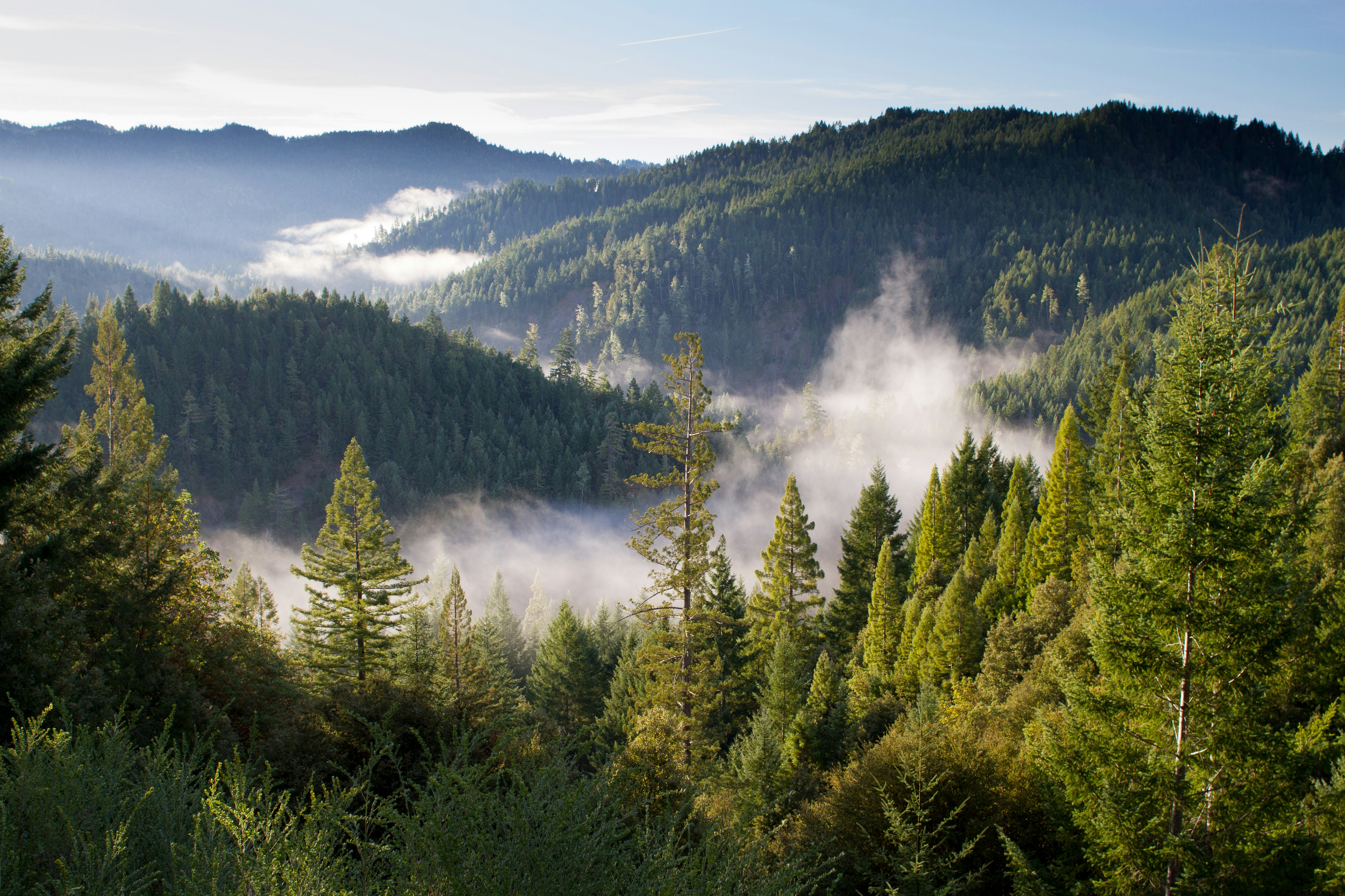
We built our instruments to meet nature at its own scale, and to read it as it is.

We built our instruments to meet nature at its own scale, and to read it as it is.